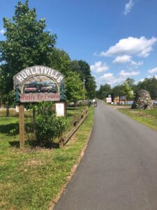
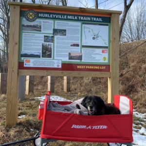
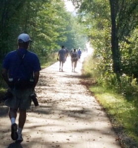
Known locally as “The Milk Train Trail,” the Hurleyville segment of the O&W spans 6.4 miles, including 3.5 miles of paved ADA-compliant trail, extending in each direction from the center of the hamlet. To the west, approximately 1 mile of wooded trail extends into the Town of Liberty. To the east, 1.9 miles of gravel-surface trail connects Hurleyville to South Fallsburg. The fast-revitalizing hamlet of Hurleyville contains a variety of venues for arts, cuisine, and culture in a walkable and universally accessible streetscape.
Hurleyville Rail Trail
Length: 6.5 miles | Surface: Multi-surface (Paved: 3.5 miles; Unpaved: 2.9 miles)

ADA-COMPLIANT TRAIL

BIKE REPAIR STATION
-
Trailhead: 331 Old Monticello Road, Liberty
-
Trailhead: 278 Denman Road, Liberty
-
Trailhead: 16 Mongaup Road, Hurleyville
-
Trailhead: 214 Main Street, Hurleyville
-
Trailhead: 144 Pleasant Valley Road, So Fallsburg
-
Trailhead: 20 Water Street, So Fallsburg
Hurleyville Section Map
Map Key
-
Trailhead
-
Parking
-
Existing Trail
-
Proposed Trail Expansion
-
On-road Connections
Trail Use Guidelines
-
Open during daylight hours only
-
No motorized vehicles or hunting
-
Pass on left
-
Give audible warning before passing
-
Yield at all roads
-
Pedestrians and people with disabilities have the right-of-way
-
Leash pets
-
Helmets are recommended
-
Alcoholic beverages are prohibited
-
Racing is prohibited
