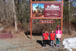
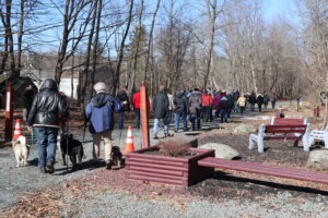
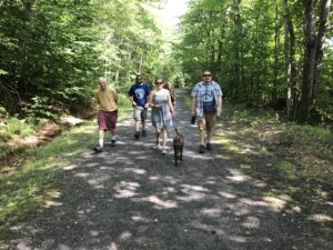
A replica of the Mountain Dale Depot building anchors the trailhead for this 2.6-mile cinder-paved segment connecting Mountain Dale with Woodridge. It features a display of historic photos, along with public restrooms, parking, picnic tables, and a basketball court. A trailside bike shop offers rentals as well as sales and repairs. In the hamlet, trail users can grab a bite to eat and browse a growing number of shops and galleries.
Mountain Dale Rail Trail
Length: 2.6 miles | Surface: Unpaved

ADA-COMPLIANT TRAIL
-
Trailhead A: Woodridge-Mountain Dale Rail Trail Parking Lot
20 Greenfield Rd, Woodridge, NY 12789
(41.70750268803355, -74.56658007317274)
Parcel number: Woodridge Village 104.-8-10 -
Trailhead B: Mountain Dale Station & D&H Interpretive Center, Mountain Dale
25 Railroad Station, Mountain Dale, NY 12763
(41.69128971576302, -74.53243080000193)
Parcel number: Fallsburg 46.-1-6 -
Mountain Dale Station Parking Lot
11 Railroad Ave, Mountain Dale, NY 12763
(41.69058644089543, -74.53134968453945)
Parcel number: Fallsburg 46.-1-6
Mountain Dale Section Map
Map Key
-
Trailhead
-
Parking
-
Existing Trail
-
Proposed Trail Expansion
-
On-road Connections
Trail Use Guidelines
-
Open during daylight hours only
-
No motorized vehicles or hunting
-
Pass on left
-
Give audible warning before passing
-
Yield at all roads
-
Pedestrians and people with disabilities have the right-of-way
-
Leash pets
-
Helmets are recommended
-
Alcoholic beverages are prohibited
-
Racing is prohibited


