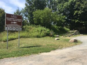
The O&W in Mamakating is part of a system of intersecting trails that have been developed along former rail lines and canal towpaths. Stretching from the Orange County border at the bottom of the Bashakill Wildlife Management Area up to the residential hamlets of Summitville and Phillipsport, surface conditions vary, making these 14.1 miles of trail suitable for all non-motorized activities, year round. At the center is the Village of Wurtsboro, with main street restaurants, shops, and amenities.
Mamakating Rail Trail
SUMMITVILLE SECTION
Length: 2.4 miles | Surface: Unpaved
-
Trailhead: 377 Ferguson Road, Summitville
-
Trailhead: 136 McDonald Road, Wurtsboro
-
Trailhead: 2 Sullivan Street, Wurtsboro
WURTSBORO SECTION
Length: 7 miles | Surface: Unpaved/Rustic
-
Trailhead: 212 South Road, Wurtsboro
-
Trailhead: 271 Haven Road, Wurtsboro
-
Trailhead: Environmental Education & Interpretive Center
762 South Road, Wurtsboro -
Trailhead: 1132 South Road, Wurtsboro
-
Trailhead: 1258 South Road, Wurtsboro
-
Trailhead: 1384 South Road, Wurtsboro
-
Trailhead: Bashakill Wildlife Management Area
10 Indian Orchard Road, Wurtsboro
Mamakating Section Map
Map Key
-
Trailhead
-
Parking
-
Existing Trail
-
Proposed Trail Expansion
-
On-road Connections
Trail Use Guidelines
-
Open during daylight hours only
-
No motorized vehicles or hunting
-
Pass on left
-
Give audible warning before passing
-
Yield at all roads
-
Pedestrians and people with disabilities have the right-of-way
-
Leash pets
-
Helmets are recommended
-
Alcoholic beverages are prohibited
-
Racing is prohibited


